


1/4
Display all
A new exhibition gives you the opportunity to make your acquaintance with ‘The painted map of the Liberty of Bruges’ (1571). A work that straddles the boundary between art and cartography, Pourbus’ detailed map depicts the harbour landscape of Bruges at the end of the 16th century in a unique manner. The work was made at a crucial turning-point in history, immediately prior to the start of the Eighty Years’ War and before later industrialisation would change the configuration of the coastal landscape forever. As a result, the Pourbus map is one of the last invaluable testimonies to the medieval landscape that once surrounded Bruges. At the same time, its skilled combination of scale, dimensions and details makes it a technical masterpiece of the very highest quality.
In the exhibition ‘Pieter Pourbus. Master of Maps’, the painted map occupies the central position, both literally and figuratively. With the aid of a number of remarkable landscape-archaeological finds and the use of magnifying glasses and digital screens, this unique map and the lost medieval landscape it depicts will be brought back to life. What did the countryside around Bruges look like at the end of the 16th century? And what remnants of that period can still be found today?
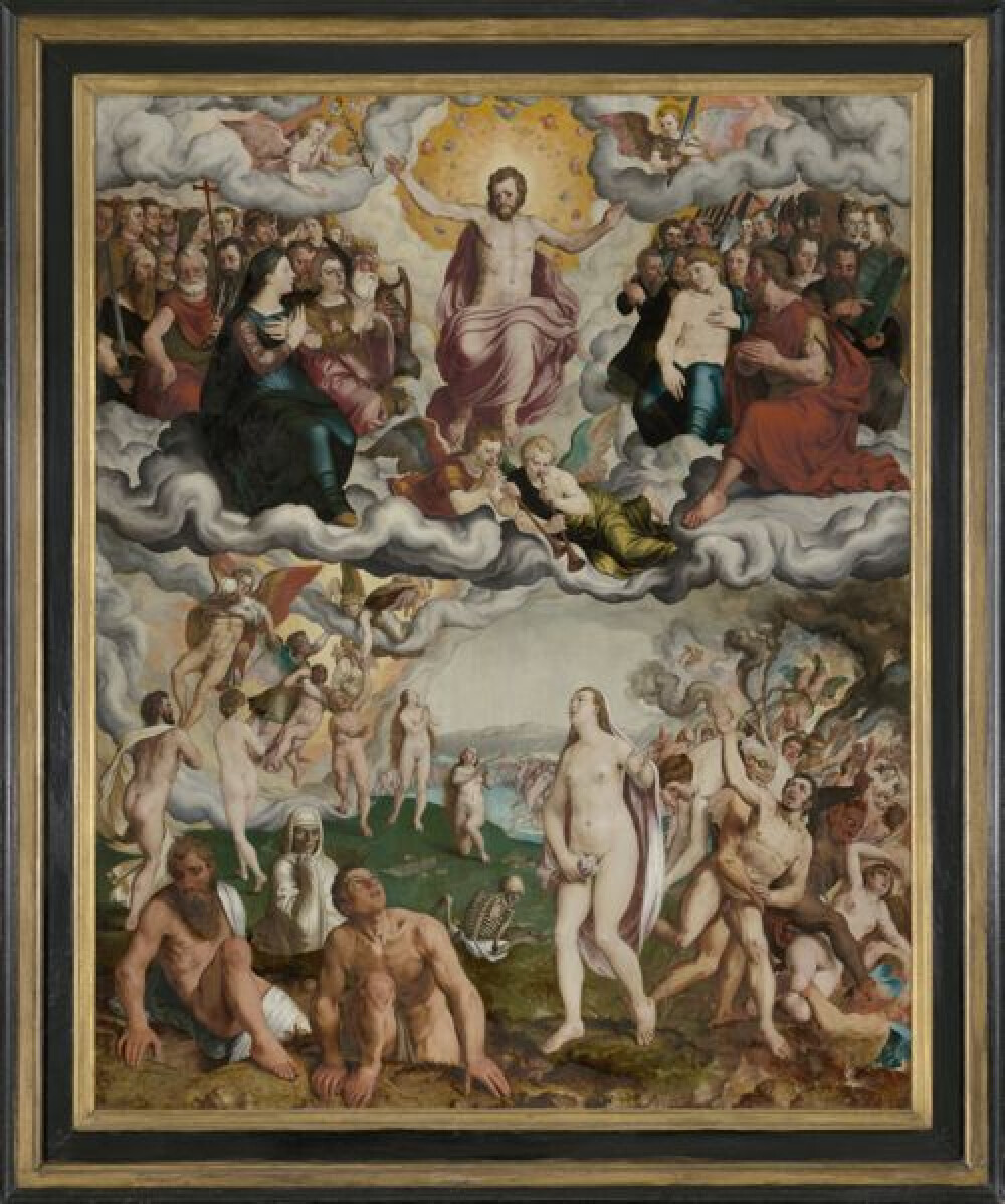
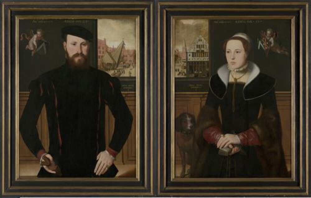
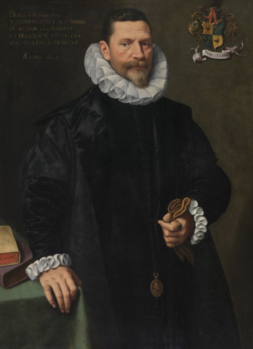
Although the painted map has often been used for illustrative purposes, its topographical content has scarcely been investigated. ‘Pieter Pourbus. Master of Maps’ focuses the spotlight on the cartographic work of the painter – who is nowadays better known for his portraits – and for the very first time takes a detailed look at the more non-artistic aspects of ‘The painted map of the Liberty of Bruges’. The exhibition is an extension of the post-graduate research carried out at the University of Ghent by Jan Trachet and analyses the map from a landscape-historical and archaeological perspective.
In addition to the central focus on the map itself, the exhibition also reconstructs the historical and cultural context in which it was made: Bruges as a cartographic crossroads, the Liberty of Bruges as a patron of the arts and Pourbus as a cartographer.
The exhibition runs from 1 December 2022 to 16 April 2023 in room 10 of the Groeninge Museum.
€ 14 / € 12 (including permanent collection)


